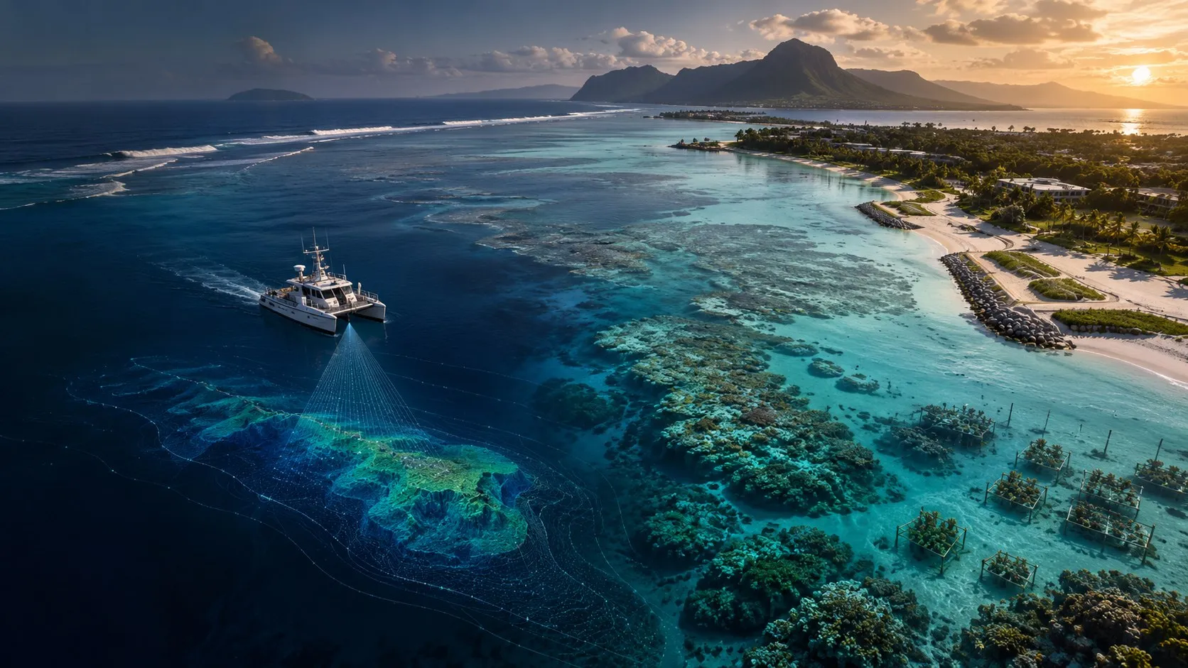
Coastal Intelligence.
Engineered for Resilience.
Integrated, science-led solutions to protect, restore and enhance our coastlines and marine environments in Mauritius and beyond.
Our Approach →One Coast.
One Connected Process.
From data to design, from permitting to implementation, our integrated approach connects investigation, modelling, engineering and monitoring to produce practical, sustainable and science-based outcomes.
Our Story →Investigate
Site assessment & data collection
Model
Analyse and predict
Design
Develop solutions
Permit
EIA & regulatory approvals
Build
Implement solutions
Monitor
Measure and adapt
Specialist Expertise.
Real-World Solutions.
We provide a comprehensive range of coastal and marine services, combining engineering, science and nature-based solutions to address today's challenges and build more resilient coasts for tomorrow.
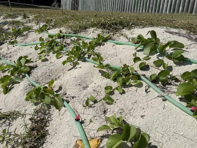
Beach & Dune Restoration
Nature-based solutions to restore beaches, dunes and coastal habitats.
Explore →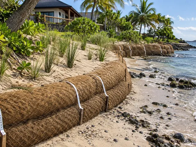
Erosion Control & Sand Retention Systems
Engineered and nature-based systems to reduce erosion and retain sand.
Explore →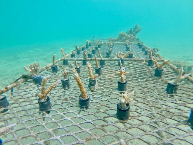
Coral Reef Restoration
Restoring reefs, strengthening ecosystems and coastal resilience.
Explore →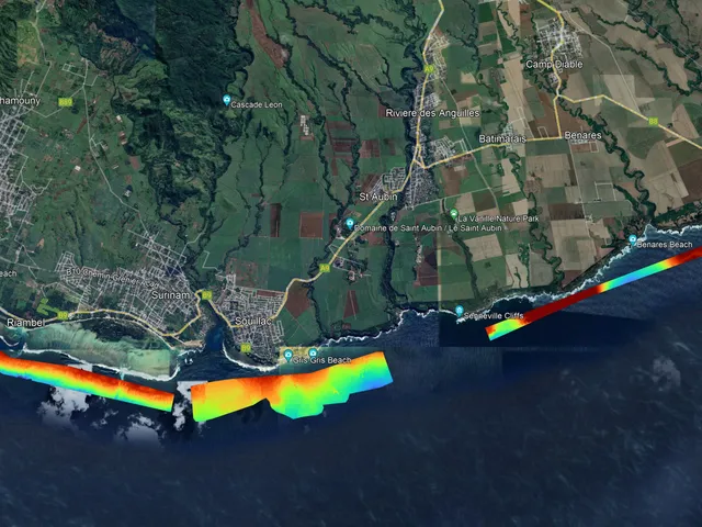
Coastal & Marine Surveys
High-resolution data for better understanding and smarter solutions.
Explore →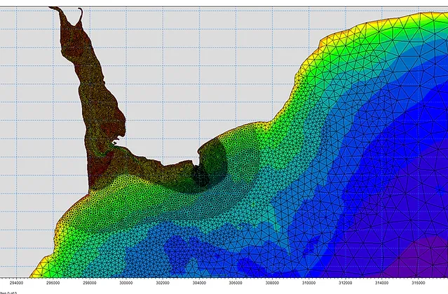
Coastal Hydrodynamics Modelling
Predicting coastal processes for safer, more resilient coasts.
Explore →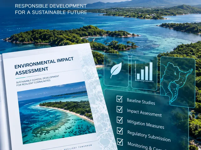
EIA & PER Permitting
Environmental assessments for sustainable marine and coastal development.
Explore →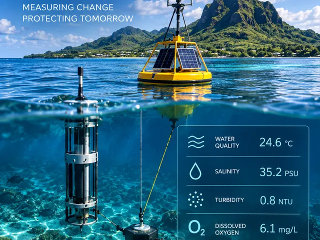
Environmental Monitoring
Measuring change to protect what matters.
Explore →From Data to Impact.
Practical, high-quality outputs to support your project from concept to completion.
View Our Projects →Survey Data
Topographic, Bathymetric, Environmental
Bathymetric Models & Maps
Coastal Profiles & Sediment Analysis
Numerical Modelling
Waves, Currents, Sediment
Engineering Concepts & Design Support
EIA / PER Documentation
Implementation Support
Monitoring Reports & Recommendations
Start with the data.
Tell us what is happening at your site and we will determine the appropriate survey, assessment or engineering pathway.
Request a Coastal Survey →