
Coastal and marine surveys
Every coastal decision starts with data. A survey de-risks the design, permitting and cost of whatever comes next — building on assumptions instead of measurements is the most expensive mistake a coastal project can make.
What we deliver
We deliver multibeam bathymetric surveys of the seabed, environmental baseline surveys, MetOcean measurement — wave, current and tide — and coastal topographic and beach-profile surveys, scoped to what your project needs to move forward.
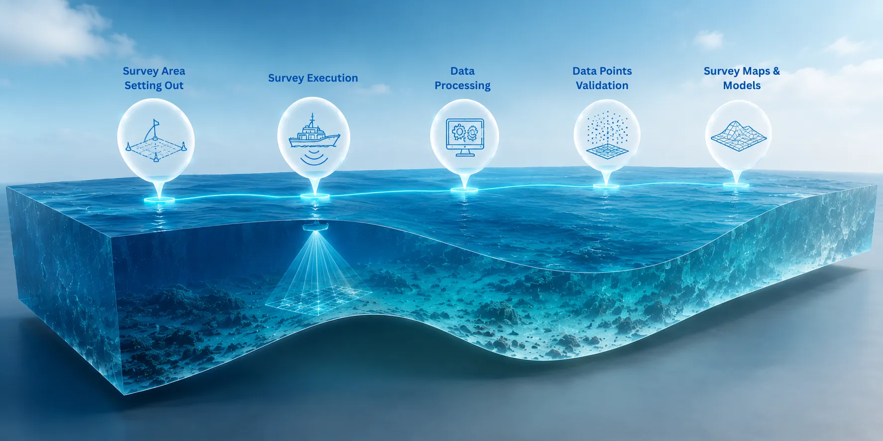
Our multibeam bathymetric surveys are captured with a professional multibeam echo sounder system that we own and operate in-house, producing high-resolution 3D seabed maps — hundreds of depth measurements taken simultaneously across a wide swath of up to 120° via 240 beams, at 160kHz wideband frequency, over a 10–300m survey range depending on site conditions. This delivers real-time seabed visualisation, water-column imaging and backscatter data for seabed classification and habitat assessment, supporting hydrographic surveys, EIA investigations, dredging surveys, navigation channel mapping, port and harbour surveys, and coral reef and marine habitat mapping.
MetOcean measurement is captured with an in-house ocean data buoy system that continuously records water pressure, current velocity, compass heading and wave height at sea, with built-in real-time processing for wave direction, current velocity and spectral analysis — feeding directly into numerical wave modelling and EIA baseline studies. Topographic, beach-profile and sub-10m nearshore surveys are carried out by subcontracted third-party registered surveyors.
Outputs you receive
Every survey is delivered as GIS-ready maps, charts and datasets — built to feed directly intowave modelling andEIA and PER submissions, not just handed over as a report to file away.
Our methodology
Investigate
Site reconnaissance and survey planning — confirming scope, access and the specific data the project needs.
Model
Where required, survey data feeds directly into wave, current or sediment-transport modelling.
Design
Survey outputs inform the design basis for whatever engineering or restoration work follows.
Permit
Survey and baseline data support EIA/PER submissions to the relevant authorities.
Build
Survey data is available on-site during construction to verify as-built conditions against design.
Monitor
Repeat surveys track change over time and verify long-term outcomes.
Delivered work
Multibeam Bathymetric Survey — MITSUI O.S.K. Lines Mauritius
150 km² multibeam survey of the southern coast of Mauritius for Bombora Wave Energy Converter site prospection, delivered with full data processing and 3D representation of the entire survey extent.
Multibeam Bathymetric Survey — Fort William, Port Louis Harbour
5 km² multibeam survey of the harbour works footprint for land reclamation and dredging works, delivered with full data processing and 3D representation of the survey extent.
Multibeam Bathymetric Survey — Hermignonne Channel, Rivière Noire
10 km² multibeam survey of the channel for navigation safety and reconnaissance, producing the first 3D seabed representation of one of the west coast's most iconic waterways.
See how this service was applied in a live project:Beach Frontage Cleaning & Hazard Removal, Les Salines.
Outcomes
A well-scoped survey gives you data you can act on — accurate enough to support engineering design and stand up to regulatory review, delivered in formats that plug straight into modelling and permitting workflows.
Frequently asked questions
What is a multibeam bathymetric survey?
A multibeam bathymetric survey uses a sonar system that emits multiple beams to map the seabed in detail across a wide swath in a single pass, producing a high-resolution 3D picture of underwater topography.
Read more in Multibeam bathymetry explained.
What does a coastal survey involve?
Scope varies by project, but typically includes bathymetric mapping, an environmental baseline (water quality, habitat, reef condition), MetOcean measurement, and a topographic or beach-profile survey of the shoreline — combined into a single GIS-ready dataset.
How long does a marine survey take?
Duration depends on site size, weather windows and which survey types are needed. We scope an indicative timeline as part of the initial site assessment.
What is MetOcean data used for?
MetOcean data — wave, current and tide measurements — is the input for numerical wave and current modelling, and for sizing any structure or restoration design against the site's real energy conditions.
Need data before you design?
Start with a survey — the foundation every coastal decision that follows can rely on.
Request a Coastal Survey →