Coastal engineering across Mauritius
Mauritius is ringed by a fringing coral reef and lagoon system that shapes every coastal project on the island — reef decline weakens the natural wave barrier that protects the shoreline behind it, cyclone-season storms and surge test beach and dune frontages directly, and tourism-driven development along the coast adds further pressure on an already stressed shoreline. OceanVolts is based in St Paul, Phoenix, and works across Mauritius's coastal zone end to end — surveying, modelling, designing, permitting, building and monitoring the solutions that protect it.
Coastal challenges in Mauritius
The island's lagoons and beaches face a related set of pressures: fringing-reef decline that reduces natural wave attenuation, sediment loss and erosion at hotel and residential beach frontages, direct exposure to seasonal cyclones and storm surge, and coastal development pressure from tourism-driven growth along the shoreline. Each of these interacts with the others — a declining reef accelerates the beach erosion behind it, and new coastal development changes how a site responds to both.
Our services in Mauritius
We work end to end across the island, from first survey through to long-term monitoring:
Beach & Dune Restoration
Sediment analysis, profile design and dune stabilisation to rebuild eroding hotel and residential beaches.
Erosion Control & Sand Retention Systems
Geotextile sand bags, berm reconstruction, breakwaters and reef structures matched to the site.
Coastal & Marine Surveys
Multibeam bathymetry, environmental baseline and MetOcean surveys that de-risk every design that follows.
Numerical Wave Modelling
Offshore-to-nearshore wave, current and sediment-transport modelling so designs are right first time.
EIA & PER Permitting
Baseline studies, impact assessment and authority liaison managed end to end for coastal projects.
Coral Reef Restoration
Reef health assessment, coral propagation and substrate design for reefs that double as natural breakwaters.
Environmental Monitoring
Water quality, reef health and beach-profile tracking that proves outcomes and satisfies permit conditions.
Project locations across Mauritius
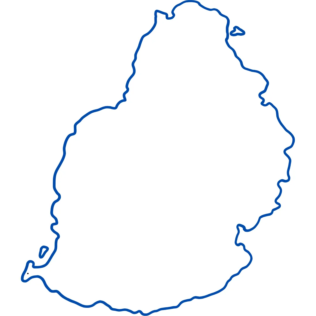
Hover or tab through the markers below for a sample of delivered work at each site, and the service behind it.
Poste Lafayette
Natural Beach Restoration, Private Villa
Manually sand-nourished and restored a 35 m escarped beach frontage, backed by a nature-based erosion-defense system and a 12-month maintenance programme.
Beach & Dune RestorationLes Salines, Rivière Noire
Beach Frontage Cleaning & Hazard Removal
Sediment sieved and health-and-safety hazards cleared across the frontage, with coastal vegetation replanted to reinforce long-term beach stability.
Beach & Dune RestorationBois des Amourettes †
Beach Nourishment & Stabilisation
Wave and coastal hydrodynamics modelling for the nourishment design, with ocean data well maintenance and long-term profile-evolution modelling.
Beach & Dune RestorationGrand Sable †
Beach Nourishment & Stabilisation
Wave and coastal hydrodynamics modelling for the artificial beach design, contributing to its design, construction and long-term evolution modelling.
Beach & Dune RestorationTrou aux Biches †
Coastal Erosion Defense Engineering
Beach-profile monitoring and sediment-transport modelling along a rock-revetment erosion defense structure, assessing its upstream and downstream impact.
Erosion Control & Sand Retention SystemsÎle aux Bénitiers Lagoon
Marine Memorial Project
Designed a Marine Memorial Ground using engineered artificial reef systems, backed by a biological survey and a preliminary backscatter survey of the site.
Erosion Control & Sand Retention SystemsRivière Noire
Seabased Coral Farm Development
Built 20 coral culture tables and reintroduced 2,000 fragments of lagoon-sourced coral back into the Île aux Bénitiers Lagoon.
Coral Reef RestorationPort Louis Harbour
Multibeam Bathymetric Survey, Fort William
5 km² multibeam survey of the harbour works footprint, delivered as a full 3D representation at centimetre accuracy.
Coastal & Marine SurveysHermignonne Channel
Multibeam Bathymetric Survey
10 km² channel survey producing the first 3D seabed representation of one of the west coast's most iconic waterways.
Coastal & Marine SurveysPointe d'Esny †
Coastal Monitoring
Monitored beach profiles along 5 km of erosion-stressed coastline, measuring and assessing profile evolution over the monitoring period.
Environmental MonitoringÎle aux Cerfs
Channel Dredging EIA + EMP
Delivered both the Environmental Impact Assessment and Environmental Management Plan for channel dredging works, securing approval on both submissions.
EIA & PER Permitting† Delivered 2013–2015 in collaboration with JICA and Mauritius's Ministry of Environment, led by OceanVolts' Managing Director, Nissar Sumodhee, prior to founding the firm.
Regulatory context
Coastal and marine works in Mauritius are regulated primarily under the Environment Protection Act, with an Environmental Impact Assessment (EIA) or Preliminary Environmental Report (PER) required depending on a project's scale, location and sensitivity — see ourEIA & PER Permitting service for how we manage that process end to end. Specific setback distances, foreshore lease conditions and other site-specific regulatory thresholds vary by location and use [UNVERIFIED - CHECK] pending confirmation against current Mauritian regulation for your exact site.
Frequently asked questions
Do you work across all of Mauritius?
Yes. We're based in St Paul, Phoenix, and work island-wide — from the west and south-west coast lagoons to the east coast's hotel frontages and the Port Louis harbour area.
Do I need an EIA or a PER for coastal work in Mauritius?
Most works that modify Mauritius's shoreline or foreshore require either an Environmental Impact Assessment (EIA) or a Preliminary Environmental Report (PER), depending on the scale, location and nature of the project.
See our EIA & PER Permitting service for how we scope and manage either pathway end to end.
How do I start a coastal project in Mauritius with OceanVolts?
Send us your site location and a description of what you're seeing — erosion, reef decline, a planned development — and we'll scope an initial site assessment from there.
Have a site in Mauritius?
Tell us where and what you're seeing — we'll scope the right first step.
Send Enquiry →