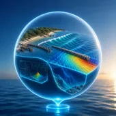
Numerical wave and current modelling
Before anything is built, we predict how waves, currents and sediment will behave at the site — so beach, reef and structure designs are right first time, instead of adjusted after the fact.
What we deliver
We deliver offshore-to-nearshore wave transformation modelling, current modelling, sediment-transport assessment, and structure-response evaluation — predicting how a design will actually perform under the site's real wave and current conditions.
Applications
Wave and current modelling underpins beach and dune restoration design and erosion control and reef structure design, provides evidence for EIA submissions, and assesses storm and surge risk before a project commits to a specific design.
Our methodology
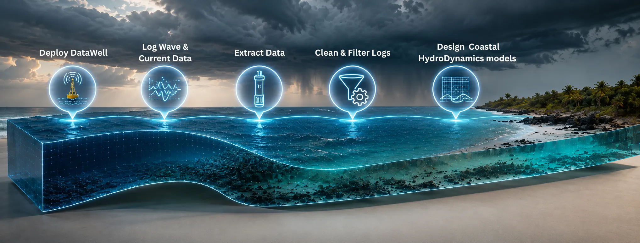
Investigate
Bathymetry, wave and current data collected as the input the model is built on.
Model
Offshore-to-nearshore wave transformation, current and sediment-transport modelling.
Design
Model outputs inform the design basis for the structure, beach or reef solution being evaluated.
Permit
Model results provide evidence for EIA/PER submissions to the relevant authorities.
Build
Model assumptions are checked against as-built and as-deployed site conditions.
Monitor
Post-deployment monitoring data is compared back against model predictions to verify performance.
Delivered work
Trou aux Biches Coastal Erosion Defense Engineering
Modelled sediment transport and sediment-budget evolution along the erosion-impacted coastline, and assessed the impact of hard-structure wave reflection, refraction and dispersion on incoming waves and the surrounding coastal zone.
Led by OceanVolts' Managing Director, Nissar Sumodhee, prior to founding the firm.
Bois des Amourettes Beach Nourishment & Stabilisation
Served as wave and coastal hydrodynamics modeller for the nourishment design, modelling long-term beach-profile evolution to validate design longevity against the site's wave climate.
Led by OceanVolts' Managing Director, Nissar Sumodhee, prior to founding the firm.
Grand Sable Beach Nourishment & Stabilisation
Served as wave and coastal hydrodynamics modeller for the artificial beach design, modelling long-term nourished-beach evolution to inform both the design and subsequent construction.
Led by OceanVolts' Managing Director, Nissar Sumodhee, prior to founding the firm.
See how this service was applied in a live project:Beach Frontage Cleaning & Hazard Removal, Les Salines.
Outcomes
A wave model is only as good as the data behind it — accurate results require real site measurements, not desk-based assumptions. We size every model to the specific decision it needs to inform, whether that's a beach design, an EIA submission or a storm-risk assessment.
Frequently asked questions
What is numerical wave modelling used for?
Numerical wave modelling predicts how waves, currents and sediment will behave at a site — used to design beaches, reef structures and coastal defences, to provide evidence for EIA submissions, and to assess storm and surge risk before construction.
What data does wave modelling need?
Accurate models need real site data: bathymetry, wave and current measurements, and often sediment characteristics — the same data captured during a coastal and marine survey.
How accurate are coastal wave models?
Accuracy depends on the quality of the input data and how well the model is calibrated to local conditions. We validate models against real site measurements wherever possible, and communicate the confidence level of results rather than presenting a single number as certain.
Need to know how it'll perform before you build?
Start with a survey — the data every model we run is built on.
Request a Coastal Survey →